


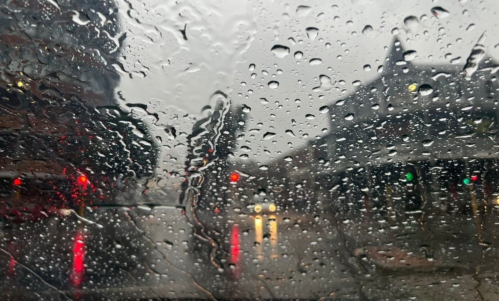
Heavy rain, winds and snow are expected in parts of the country. (Busang Senne/News24)
- The South African Weather Service has warned of a spring cut-off low that will bring very cold, wet and windy conditions to parts of the country.
- The icy conditions are expected across various provinces from Thursday.
- Snowfall can be expected in multiple provinces.
The winter weather is not over just yet, the South African Weather Service (SAWS) has warned, with parts of the country likely to receive snow this weekend.
The SAWS has warned that a spring cut-off low will bring very cold, wet and windy conditions in several provinces.
The cold snap follows hot conditions experienced across most of the country at the start of spring, with the first heat wave of the season occurring over parts of Mpumalanga and Limpopo.
“Weather conditions are expected to change significantly as a cold front and cut-off low-pressure system (the northwards displacement of a deep low-pressure system) will introduce wintry conditions to the Western Cape, southern parts of the Northern Cape and the Eastern Cape from Thursday,” the SAWS said.
READ | Weather service issues warning of severe thunderstorms, hail, and heavy downpours for Gauteng
The cold conditions will spread to KwaZulu-Natal, the Free State and Mpumalanga on Friday, and reach Gauteng, North West and Limpopo on Saturday.
“Disruptive snowfall and bitterly cold conditions are expected to affect the high-lying areas of the Eastern Cape (especially the north-eastern high-ground) from Thursday, spreading to the eastern and southern high-ground of the Free State, the western and southern high-ground of KwaZulu-Natal, and extending as far as the southern Highveld of Mpumalanga on Friday into Saturday morning.”
The cold front arrived in the Western Cape on Wednesday, resulting in showers and rain. Cold to very cold conditions are expected over parts of the province’s interior and the Eastern Cape on Thursday.
Strong to near-gale force winds with rough seas are likely. Light snowfalls are likely to occur over the eastern mountains of the Western Cape and the northern high-ground, as well as mountains of the Eastern Cape, from Thursday afternoon.
In contrast, very hot to extremely hot temperatures (exceeding 38°C to 40°C) are expected to occur over parts of the Limpopo valley and Lowveld of Limpopo ahead of this system.
On Friday, an intense cut-off low pressure system will develop along the border of the Northern Cape and Eastern Cape, and will move into the southern parts of the Free State in the evening. This system will result in widespread showers and thundershowers over parts of the Eastern Cape and KwaZulu-Natal, while scattered thunderstorms are possible over parts of Gauteng, western Limpopo, the eastern parts of the North West and the Free State, as well as parts of Mpumalanga.
“Bitterly cold daytime temperatures of 4°C to 8°C can be expected over the high-lying areas of the Eastern Cape, the eastern Free State and the interior of KwaZulu-Natal, where widespread snowfall is likely.
“Current numerical weather prediction models indicate the possibility of light snowfall over the southern parts of Gauteng and the remainder of the Highveld of Mpumalanga on Saturday morning. However, there is significant uncertainty regarding this outlook, as the forecast may still change,” the SAWS said.
Disruptive snowfall of 15cm to 30cm can be expected over the north-eastern high-lying areas of the Eastern Cape, the western and southern areas of KwaZulu-Natal, the eastern Free State and the southern Highveld and escarpment of Mpumalanga, mainly on Friday, continuing into Saturday morning.
Cold to very cold daytime temperatures (8°C to 12°C) can also be expected over Gauteng and the eastern parts of North West on Saturday.
The cut-off low is expected to weaken and exit the country from Saturday afternoon. Daytime temperatures are expected to recover quickly from Sunday into Monday across eastern South Africa.


